About Our Region

West Kazakhstan region is located in the western part of the Republic of Kazakhstan and is the gateway to the central and southern regions of the republic and the states of Central Asia.

It borders two regions of Kazakhstan: Aktobe and Atyrau, and five regions of the Russian Federation: Astrakhan, Volgograd, Saratov, Samara, Orenburg, connected with them by railway lines, road, water and air transport.

151,3 thousand km²
Area of the region, km²
Relief
The relief of the territory is flat. In the north and northeast of the region there are spurs of the Greater Syrt and Pre-Urals plateau. In the south, within the Caspian Lowland, there are sandy masses of Narynkum: Kokuzenkum, Akkum, Karagandykum and others. The climate is sharply continental.
Hydrography
The Ural River flows through the region, which is the main water artery of the region. Other major rivers: Saryozek, Karaozek, Kaldygait, Olenty, Buldurti, Shyngyrlau. Large lakes: Shalkar, Aralsor, Botkol, Zhaltyrkol, Sulukol.
Soils
Soils are dark chestnut, chestnut, light chestnut clayey and solonetz. Grassland-herbaceous, grass-polygonum, wormwood-grain vegetation predominates. The Pre-Urals is rich in minerals, with oil and gas being the priority, and the Karachaganak field is one of the richest in the world.

The center of the region is located in Uralsk!

Administrative division

695 301
Permanent population of the region, people
367 199
Live in urban areas, people
328 102
Live in rural areas, people
4,36
Average population density in the region, people/km²

Uralsk is the administrative, industrial, historical and cultural center of the West Kazakhstan region.

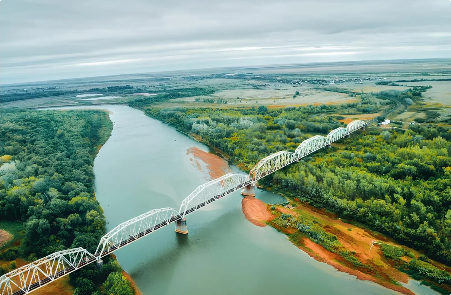
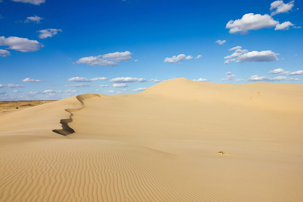
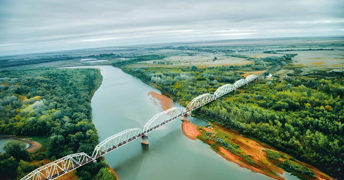
The city was founded in 1613 and is located in the northern part of the Caspian Lowland, in a picturesque steppe plain. It is located on the right bank of the middle course of the Ural River, the length of which within the Republic of Kazakhstan is 1082 km, and on the left bank of the lower course of the Chagan River.

There are 4 rural districts in the city: Zheleevsky, Zachevsky, Krugloozernovsky and p.Derkul with a total population of 101,758 people.

367 199
Population of Uralsk, people
731,33
The territory of the city with suburbs is, km²
1 747
Distance from Uralsk to Nur-Sultan, km

Geography

The administrative structure of the region includes 12 districts
Akzhaik District
Chapaev village
Kaztalov District
Kaztalovka village
Bokeyordinskiy District
Saykhin village
Karatabinsky District
Karatau village
Burinsky District
Aksay city
Srymsky District
Zhympity village
Zhangelinsky District
Zhengala village
Taskalinsky District
Taskala village
Zhanibeksky District
Zhanibek village
Terektinsky District
Fedorovka village
Bayterek District
Peremotnoye village
Chingirlausky District
Chingirlau village

Economic indicators

Living standards

202 356
Average nominal monetary income per capita for Q2 2024, tenge
112,7%
Nominal wage index to the corresponding quarter of 2023
104,3%
Real wage index to the corresponding quarter of 2023
About our region
What makes the city of Uralsk famous?

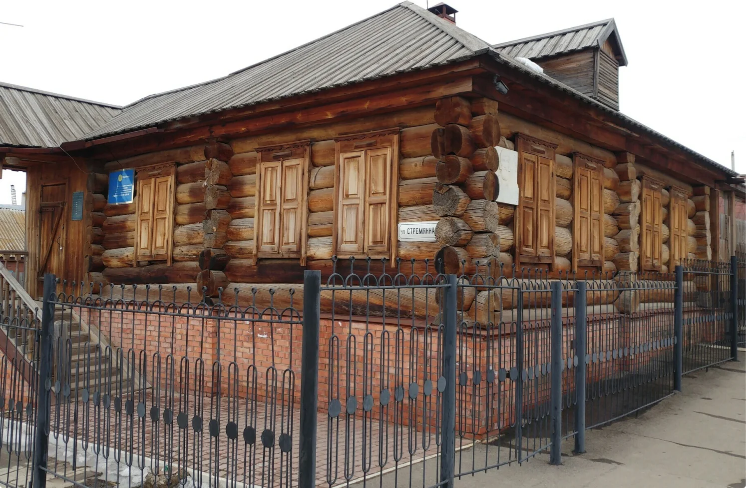
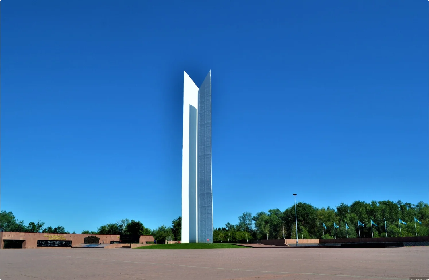
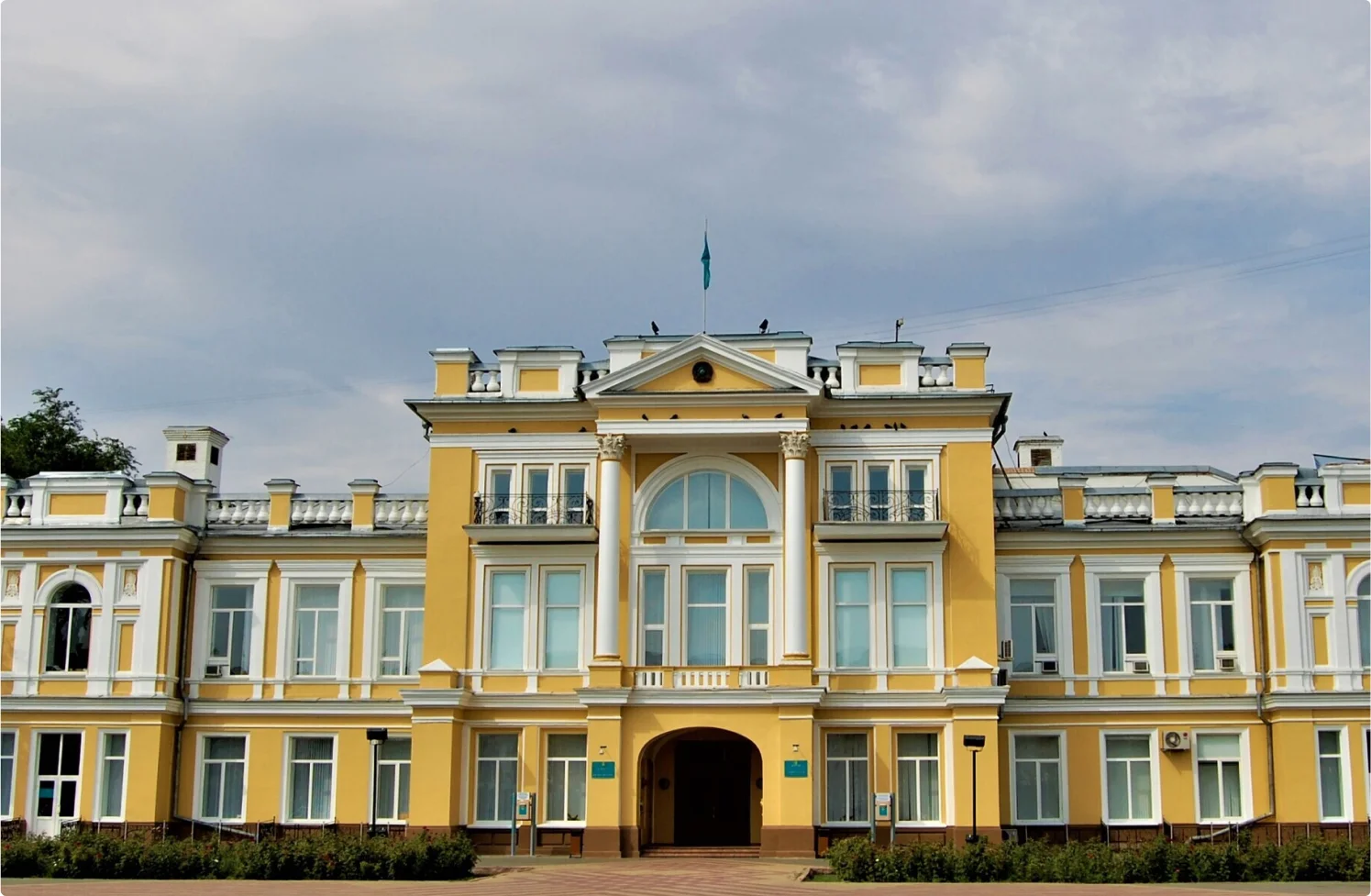
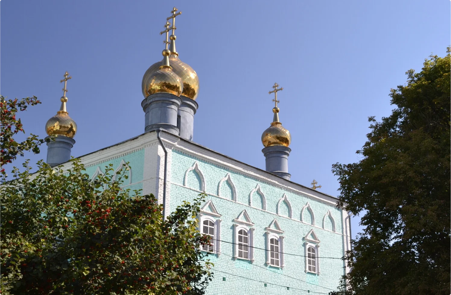
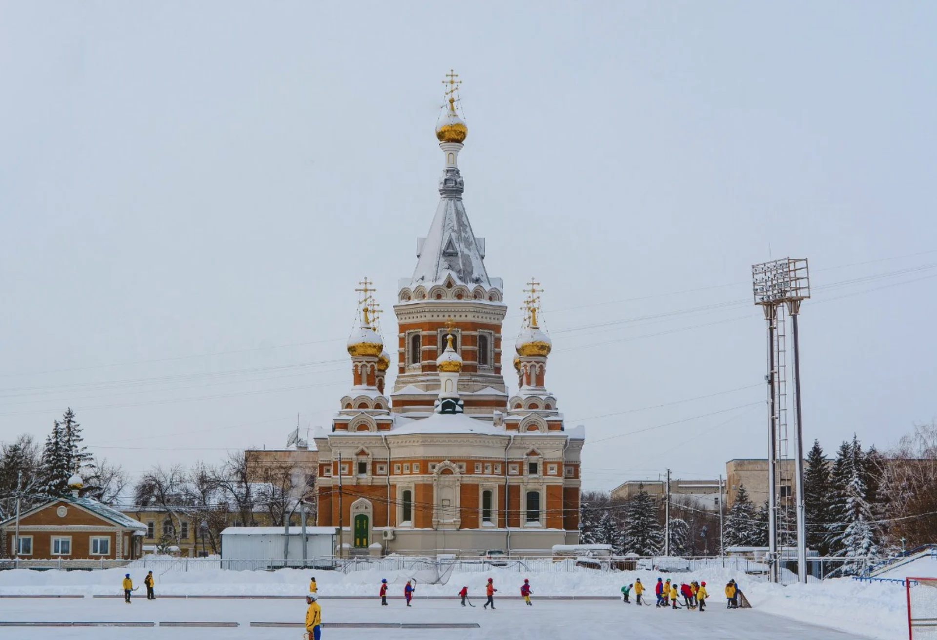
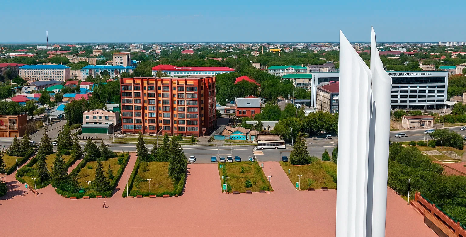
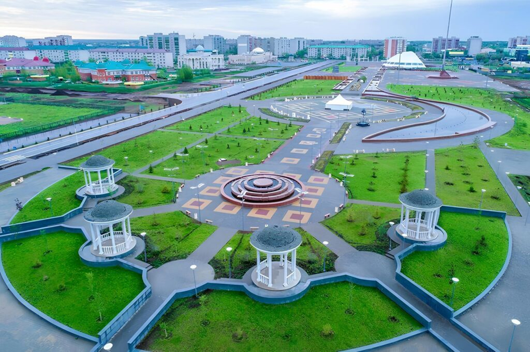
Unique and unrepeatable appearance of Uralsk and, above all, its historical landmarks of the XVIII - XIX centuries: Pugachev's cottage, the Old cathedral, the Church of Christ the Savior, the house of the governor, the house of Karëva, the building of the regional administration, the city park of culture and recreation. Modernity makes new residential areas and high-rise buildings, buildings of airports and railway stations, monuments to Abay, S. Dato, M. Mametova, V. I. Chapayev, A.S. Pushkin, and the Victory Memorial with a eternal flame of glory and others.